IGN coordinates this program, which is the bedrock of public work in the regions and works to support all uses of this “geocommon” in its making.
This massive national project aims to obtain a highly accurate 3D description of the area, in order to analyze and influence public policies, economic development, or even prevent geological hazards.
What is lidar?
Lidar (light detection and ranging) is a technology similar to radar: it is a distance measurement technology that uses the properties of light. When this device is on a plane to map an area on a large scale, the scanner emits high-frequency light pulses back toward the ground: the Lidar records the time of their travel and deduces the location of the affected points. Quickly generates millions of geo-tagged points in 3D.
7000 flying hours to map France in 3D
Technologically speaking, the program is impressive. By providing classified Lidar point clouds, Digital Terrain Models (DTM) and Digital Surface Models (DSM), Lidar HD will allow France to transition from a gradual coverage of the territory with an average point cloud density of two points per square meter, with coverage of 10 points per square meter in Averaged over the entire capital territory and overseas provinces, except for Guyana, which will be the subject of specific measures, IGN shows.The project will require approximately seven thousand flight hours, and the data produced will represent a total volume of 3 petabytes (3 million gigabytes). Thus, IGN divided France to 236 blocks with an area of 50 sq. km. Data acquisition has already begun, and is being implemented from south to north; 70 blocks should be covered during 2021, and the entire area should suffer the same fate by 2026. Once this total coverage is achieved, it can be used Data for many purposes IGN cites the example of flood risk, where Lidar data is used to “develop risk maps and reduce the vulnerability of areas at risk.” There is also talk of assessing forest resources. It is also a goldmine for all companies. t in the virtual reality sector who can use this data to immerse themselves in the French digital twin. Recommended in the report to the Government on Sovereign Geographical Indications drafted in 2018, the program budget is €60 million. IGN specifies that the data collected will soon be available as open data.
What data is already available?
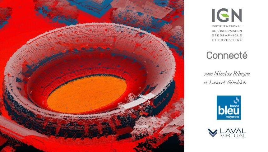
If we still have to wait before exploring the data in detail, it is already possible to get a taste of it. Several areas are already available for free download in the vicinity of Montpellier, Nîmes and the Grands Causses Regional Natural Park. For example, you can find the squares of Nîmes, Pont du Gard, areas on the sea, airports and ports.
HD Lidar | Geographical Services (ign.fr)
Lidar HD: Towards a New 3D Mapping of the Territory – The Institute – IGN

“Certified gamer. Problem solver. Internet enthusiast. Twitter scholar. Infuriatingly humble alcohol geek. Tv guru.”


